Settlements & Infrastructure
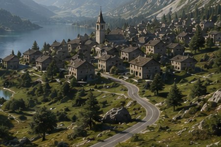
Road networks, villages and buildings that sit consistently on a terrain, generated at the scale of a territory rather than a single plot. The same representations serve communities that rarely meet: archaeologists reconstructing pre-classical dwellings from partial excavation data, thermal and urban modellers who need building geometry as input to physical simulation, and hazard specialists coupling the built environment with rockfalls and floods.