Research
Natural virtual worlds
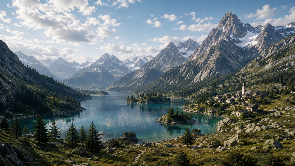
I build methods that generate natural environments at the scale of a landscape, and sometimes of a planet, while keeping them plausible enough to be analysed and controllable enough to be authored.
Three requirements pull against each other in this work. Scale, because a terrain that only
holds together over a few hundred metres is of no use for a catchment, a mountain range or a whole
world. Realism, because a scene has to be faithful to the processes that shaped it, not merely
convincing at first glance. And authoring, because a model that an artist or a scientist cannot
steer is a model nobody uses. Most of my research sits where these three constraints meet.
Plausibility cannot be judged from inside computer graphics alone. The work is therefore built with
the people whose object it borrows: geomorphologists and geophysicists on erosion, glaciers and
aeolian landforms, forest ecologists and plant scientists on vegetation dynamics, archaeologists on
ancient built environments, and game studios on what has to survive in production. Several of these
collaborations have led to publications in their venues rather than ours.
Procedural Generation of Terrains
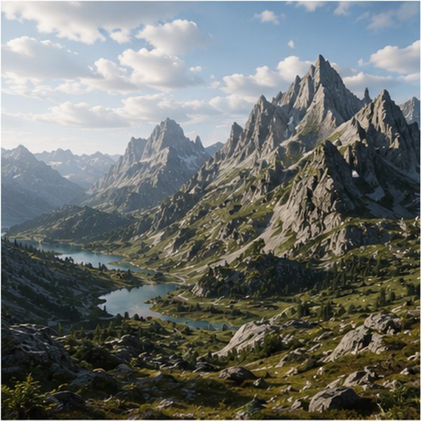
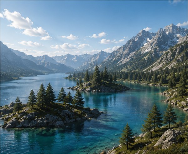
Synthesising terrains that hold together from the shape of a single valley up to an entire planet, and that a designer can still steer. The methods combine erosion and tectonic models, which give landforms their geological plausibility, with sparse authoring primitives, sketches and example-based synthesis, which give back the control a pure simulation takes away. Terrain analysis borrowed from geomorphometry, such as orometry, serves both to drive the synthesis and to measure whether the result is credible.
proceduralerosionauthoringlarge-scale
Natural Phenomena & Simulation
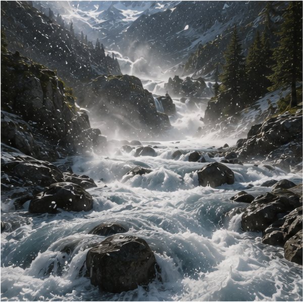
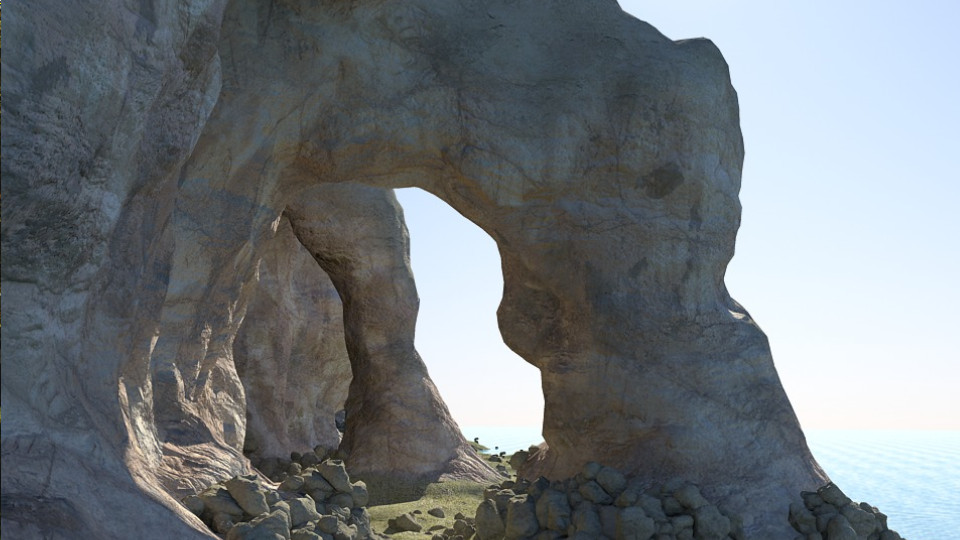
Water, glaciers, snow, avalanches, debris flows, dunes and erosion, simulated at landscape scale and at interactive rates. The difficulty is keeping a model physically meaningful while running it over an entire catchment or dune field, which rules out direct numerical simulation. These models are designed with geophysicists and geomorphologists, so that what they produce reads as a plausible history of the terrain and not only as a plausible image of it.
watersnowdunesmass movementsgeophysics
Ecosystems & Biodiversity
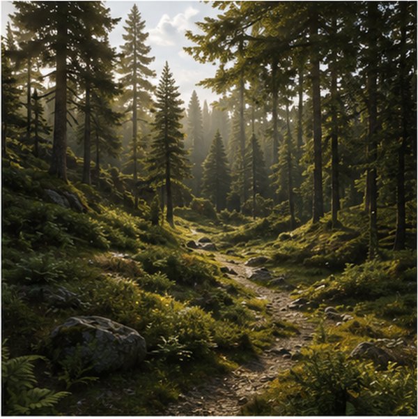
Vegetation and ecosystem dynamics at the scale of a forest or a whole landscape, where millions of plants compete for light, water and space. The work is conducted with forest ecologists and plant scientists, and published in their journals as well as in ours: the visual analysis of forest landscape model simulations appeared in Ecography. The aim is realism, so that plant distributions follow the terrain and its history, and authoring, so that an ecologist can explore a scenario rather than only watch it unfold.
vegetationforest ecologybiodiversitylarge-scale
Settlements & Infrastructure
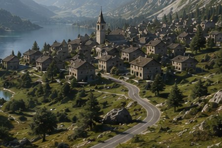
Road networks, villages and buildings that sit consistently on a terrain, generated at the scale of a territory rather than a single plot. The same representations serve communities that rarely meet: archaeologists reconstructing pre-classical dwellings from partial excavation data, thermal and urban modellers who need building geometry as input to physical simulation, and hazard specialists coupling the built environment with rockfalls and floods.
roadsvillagesbuildings & BIMarchaeology
Virtual Worlds & Immersion
Representation, level of detail and interactive rendering of environments too large to be held in memory, bringing terrain, vegetation and built elements together in a single scene. Scale is the constraint that shapes everything else here, since a representation that does not degrade gracefully cannot be explored in real time. The work feeds production, through long-standing collaborations with game studios, as much as scientific communication, where a rendered scene is what makes a simulation legible to a non-specialist.
level of detailreal-timerenderinglarge-scale
Research software
Software developed for our research work, or to run my teaching, most of it under the Arches-Team organisation.
Supervision
Alongside doctoral supervision, I take Master’s students on research work every
year, around fifteen Master 1 projects and some fifteen Master 2, final-year or L3 research
internships since 2014, and occasionally a research-minded subject among the undergraduate tutored
projects.
Placements in companies and apprenticeship follow-up belong to
teaching and are listed there.
PhD
Célian Louis-Itty
Arbres, Forêts, et perception dans les mondes virtuels
Trees, forests and perception in virtual worlds
Co-supervised with Eric GUERIN
Six-month research placement at Adobe, May to October 2025
2023-2027
INSA Lyon
PhD
Simon Perche
Contrôle interactif du style et de la structure de terrains numériques
Interactive control of the style and structure of digital terrains
Co-supervised with Eric GUERIN
Six-month research placement at Adobe, June to November 2023
PhD
Yann Cortial
Synthèse de terrain à l’échelle planétaire
Planet-scale terrain synthesis
Co-supervised with Eric GUERIN
PhD
Thibault Dupont
Représentation, modélisation et génération procédurale de paysages de rivières naturelles
Representation, modelling and procedural generation of natural river landscapes
Co-supervised with Eric GALIN
PhD
Jérémy Gaillard
Représentation et échange de données tridimensionnelles géolocalisées de la ville
Representing and exchanging geolocated three-dimensional city data
Co-supervised with Gilles GESQUIERE
Looking for a PhD or internship subject?
Open topics are announced in News; feel free to write with a short motivation and a transcript.
Contact me