Procedural Generation of Terrains
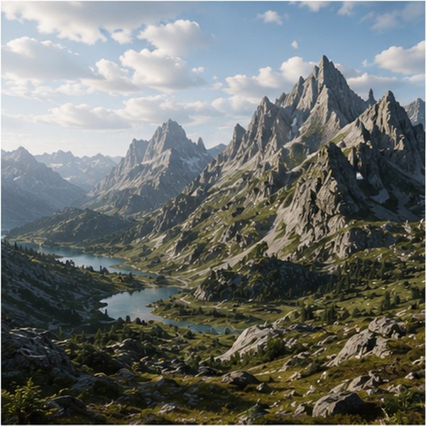
Synthesising terrains that hold together from the shape of a single valley up to an entire planet, and that a designer can still steer. The methods combine erosion and tectonic models, which give landforms their geological plausibility, with sparse authoring primitives, sketches and example-based synthesis, which give back the control a pure simulation takes away. Terrain analysis borrowed from geomorphometry, such as orometry, serves both to drive the synthesis and to measure whether the result is credible.